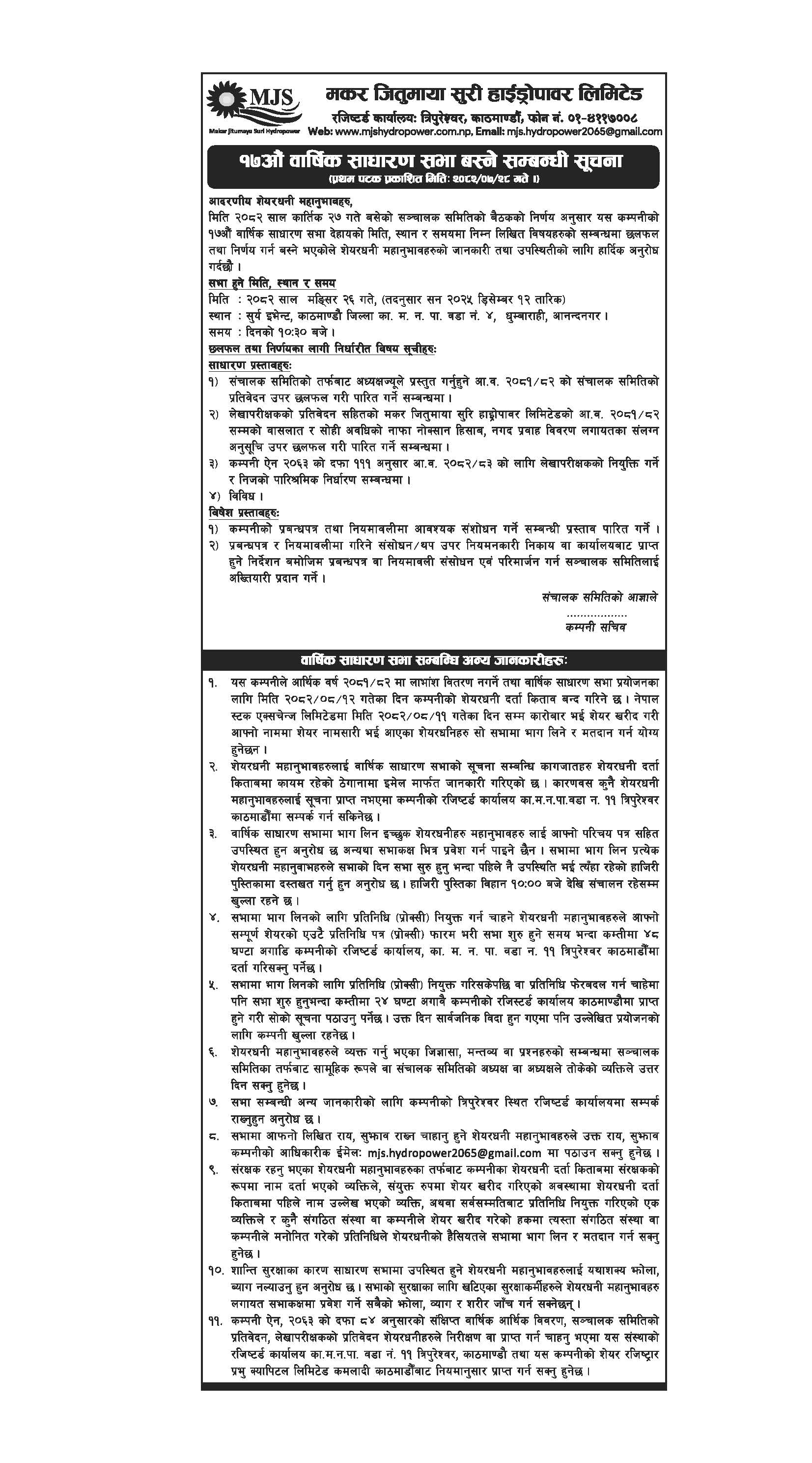
Background
Suri Khola Hydropower Project (SKHP) is located in Chankhu and Suri VDC of Dolakha district, Janakpur Zone of Central Development Region of Nepal. The project encompasses an area between latitude 27o44’10” N to 27o45’13.85”N and longitude 86o12’26” E to 86o15’00” E. Dolakha is one of the rich districts of Nepal in terms of hydropower potential. Therefore, some other hydro projects like Khimti Hydropower Project (60 MW) is in operation and Upper Tamakoshi Hydroelectric Project (456 MW) which is the largest project in the nation is under construction. There are numerous other projects at different levels of study in the district. SKHP is one of the projects in the district going to start its construction from November 1, 2016. The project is being developed, operated and owned by Suri Khola Hydropower Pvt. Ltd. (SKHPL).
SKHPL had conducted feasibility study of the project, and plant capacity proposed by the study was 3600 kW. After the completion of feasibility study and further river flow measurement by more accurate method of current meter, the company decided to explore possibility of capacity upgrading of the project.
Possibility was seen by increasing head and increasing the design flow as shown by actual measurement of the flow of Suri Khola. Optimization study has finalized the installed capacity of the project into 6400 kW considering Nepal Electricity Authority’s (NEA) criteria of flow not exceeding 40 percentile probability of exceedence.
Accessibility
The project site is about 175 km away from Kathmandu, the capital of Nepal. There exists a black toped road of 133 Km from Kathmandu to Charikot, the headquarter of the project district. Charikot is about 42 km away from powerhouse of the project. The power house is accessible with 35 km graveled road from Charikot to Singati; the nearest city of the project and 4.5 km from Singati to Bhorle. Likewise, the earthen road of 2.5 km from Bhorle connects the proposed alignment and powerhouse of the project. However, there is no access road along the alignment to reach the intake and therefore, needs to be constructed in the initial phase.
Description
All the proposed components of the project are located within Suri VDC. The project simply comprises simple diversion weir with side intake, gravel trap, connection canal, desanding basin, forebay, headrace/penstock pipe, surface powerhouse with switchyard, transmission line and interconnection substation. The headworks including 20 m in length free over flow concrete lined weir is located just downstream of confluence of Hulak Khola with Suri Khola at an elevation of 1395 m. A rectangular Approach canal having size of 1.5 m X 1.65 m (Width X Depth) is proposed to convey water from intake to gravel trap. Length of 43 m, double chamber gravity flushing type desander with 16.20 m transition has been designed to settle particle greater than 0.15 mm, which is hazardous to the turbine blades. Moreover, 11.45 m long reinforced concrete head pond will be constructed at the end of settling basin to dissipate the surge pressure created in to penstock pipe due to load fluctuation or rejection. This structure will also serve as water storage for additional flow for short period and provide sufficient submergence to penstock inlet to avoid vortex. The gravel trap, settling basin and head pond lie on right bank of the river and headrace/penstock alignment crosses the river at 270 m from forebay and passes along left bank. Penstock having 3384 m in length and 1.30 m internal diameter conveys water to power house. The powerhouse is located at an elevation of 1113 m at Gurumphi village on left bank of Suri Khola about 300 m upstream from the confluence of Suri Khola with Khare Khola. The powerhouse contains two horizontal axis pelton turbines. A gross head of 282 m will produce an average electricity of 32.85 GWh in a year. The energy generated in dry season will be only 5.28 GWh. From the proposed powerhouse, a 33-kV transmission line; 6 km in length will be constructed and connected to Singati substation. The transmission line alignment of the project covers Suri and Chankhu VDCs of Dolakha district. Proposed power evacuation point is very near to Singati Bazzar. Alignment of SKHP initially passes along the right bank of Suri Khola, crosses the river and passes along the left bank. There is few cultivated land along the alignment but mostly the alignment passes through forest and barren land. There is vulnerably no unstable area in the alignment despite there are some kholsies (rivulets) need to be crossed in the alignment.
Financial linkage
The developer has arranged the funding for the project from equity share and loan from a consortium of Nepalese banks. The loan has been arranged from Nepalese Bank; Prabhu Bank Ltd as a lead bank and Century Commercial Bank Ltd as a member of consortium. Funding detail of different bank leading with Prabhu Bank Ltd with committed amount is as shown in table below:
Equity: Developer (Suri Khola Hydropower Pvt Ltd)
Lead Bank: Prabhu Bank Ltd.
| SN | Name of the Bank |
|---|---|
| 1 | Prabhu Bank Ltd |
| 2 | Century Commercial Bank Ltd |
| 3 | Nepal Bangladesh Bank |
Salient Features of the Project
| General | |
| Development region | Central |
| Zone | Janakpur |
| District | Dolakha |
| District headquarter | Charikot |
| VDC | Chankhu and Suri |
| Project location (same as before) | |
| Longitude | 86° 15' 10" to 86° 12' 50" East |
| Latitude | 27° 45' 13.85" to 27° 44' 10" North |
| Type of scheme | Run of river (RoR) |
| Source river | Suri Khola |
| Hydrology | |
| Catchment area | 36.40 km2 at intake site |
| Mean annual precipitation | 1650 mm |
| Design discharge | 2.75 m3/s (Q40%) |
| Compensation flow | 0.066 m3/s |
| 1 in 100 years return period design flood | 167.75 m3/s |
| 1 in 5 years return period operation flood | 61.22 m3/s |
| 1 in 2 years return period diversion flood | 34.55 m3/s |
| Power and energy | |
| Gross head | 282.0 m |
| Rated net head | 273.19m |
| Installed capacity | 6400 kW |
| Dry season energy | 5.28 GWh |
| Wet season energy | 27.56 GWh |
| Annual energy | 32.85 GWh |
| Project components | |
| Weir | |
| Type | Concrete lined weir |
| Crest level | 1395 m amsl |
| Length of weir | 20 m including undersluice |
| Spillway type | Free overflow |
| Intake | |
| Type | Gated submerged orifice intake with course trash rack |
| Nos. of opening | 2 nos |
| Opening size | 2.5m long X1.0 m |
| t region | Central |
| Zone | Janakpur |
| District | Dolakha |
| District headquarter | Charikot |
| VDC | Chankhu and Suri |
| Project location (same as before) | |
| Longitude | 86° 15' 10" to 86° 12' 50" East |
| Latitude | 27° 45' 13.85" to 27° 44' 10" North |
| Type of scheme | Run of river (RoR) |
| Source river | Suri Khola |
| Hydrology | |
| Catchment area | 36.40 km2 at intake site |
| Mean annual precipitation | 1650 mm |
| Design discharge | 2.75 m3/s (Q40%) |
| Compensation flow | 0.066 m3/s |
| 1 in 100 years return period design flood | 167.75 m3/s |
| 1 in 5 years return period operation flood | 61.22 m3/s |
| 1 in 2 years return period diversion flood | 34.55 m3/s |
| Power and energy | |
| Gross head | 282.0 m |
| Rated net head | 273.19m |
| Installed capacity | 6400 kW |
| Dry season energy | 5.28 GWh |
| Wet season energy | 27.56 GWh |
| Annual energy | 32.85 GWh |
| Project components | |
| Weir | |
| Type | Concrete lined weir |
| Crest level | 1395 m amsl |
| Length of weir | 20 m including undersluice |
| Spillway type | Free overflow |
| Intake | |
| Type | Gated submerged orifice intake with course trash rack |
| Nos. of opening | 2 nos |
| Opening size | 2.5m long X1.0 m |